“Lift up your eyes on high, and behold who hath created these things…” Isaiah 40:26a
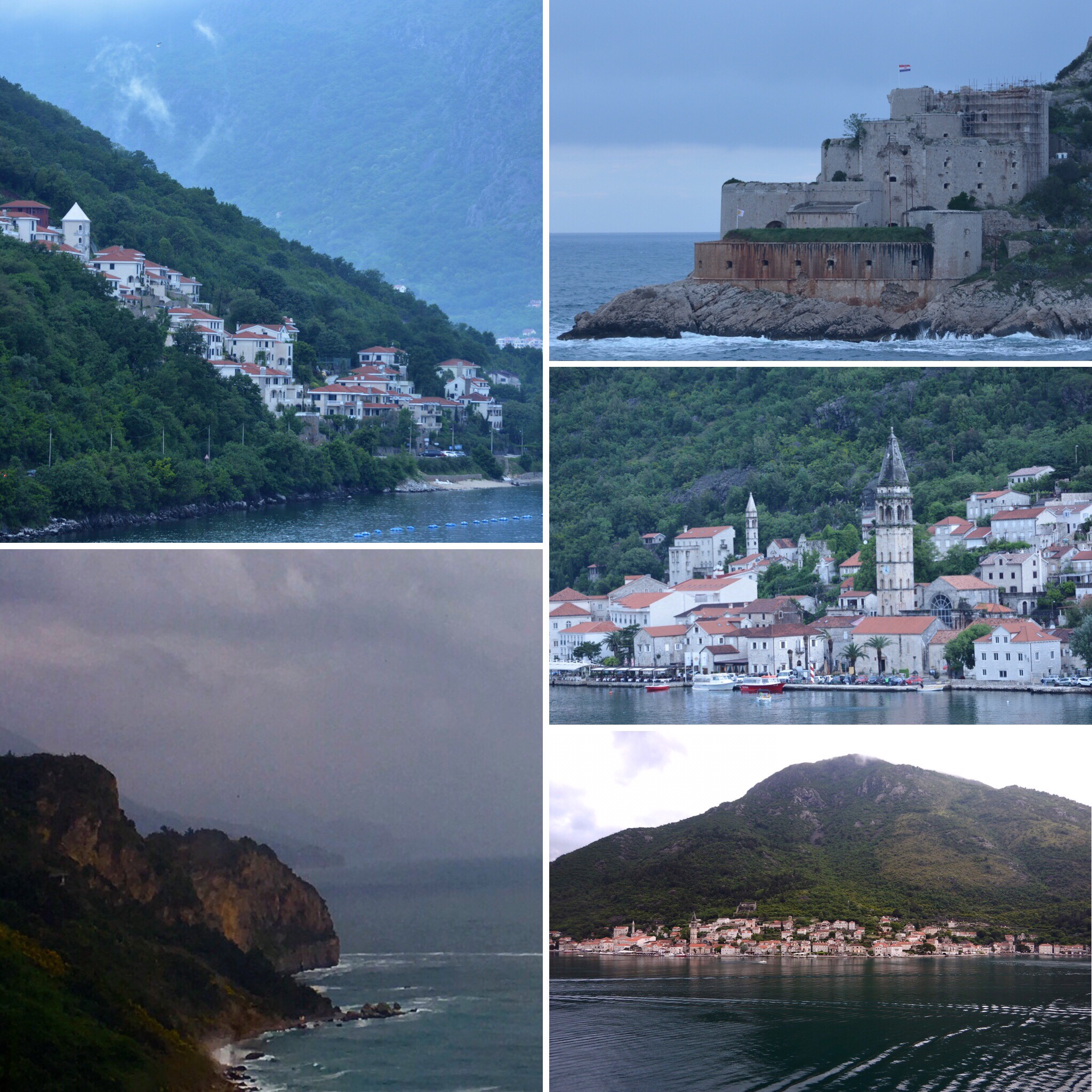
Our day started with pouring rain. We navigated through a beautiful fjord flanked by tall forest covered mountains with lots of houses at their bases, and then dropped anchor in the Bay of Boka at the end of the fjord.

Top: leaving the Adriatic Sea and going into the fjord
Bottom-left: Kotor from mountains (our ship is the tiny one in the distance)
Bottom-right: Kotor from our ship
We boarded our motor coach and headed up the 1000 m (3000+ ft) mountains. The road we traveled on was a 19th century road finished in 1876 with 25 hairpin, or serpentine, curves! It was a two-way road and some of the turns were very tight!
Montenegro was an independent democratic country (1878), but it lost its independence and became part of Yugoslavia. It regained its independence in 2006. It is not a member of the EU, but a member of NATO. The official language is Montenegrin, which has Slavic roots. It is a 13,812 sq km country with 650,000 people living here. 70% of Montenegro is mountainous with many peaks approximately 2,000 meters high. Religion: 70% Christian Orthodox; 13% Catholic; 3% Muslim and the rest are minorities. Religious tolerance is practiced here. All are considered equal and inter-religious marriages are accepted without problem.
We stopped at a little restaurant in Njegusi in the mountains for a delicious snack of fresh bread, prosciutto, cow cheese and Coke Zero!! It had a nice fireplace for warmth, and different kinds of smoked meats hanging from the ceiling! Beech wood is used to smoke the meat since that wood does not add any flavor or smell to the meat.

In Cetinje, We visited the Museum of King Nicholas (only king of Montenegro), but were not allowed to take any photographs inside the museum. It was formerly the palace of King Nicholas, so we saw the study, bedrooms, dining areas, and guest rooms of the palace. We also saw wedding gowns, uniforms of the king, weapons, military decorations, dishes, and silverware. Several portraits of the family, included the King and Queen and eleven of their twelve children, plus other European rulers, such as the Romanovs, adorned the walls.
Kotor
The city was named for the many fountains that once provided water for the people. There are nine city squares named for the items that were sold in them. Ex: Fish Square; Meat Square. Since the Venetians once ruled this area, there is a heavy Venetian influence The symbol of Venice, a lion holding a book that is closed, means Venetians ruled alone. In Kotor, there is a lion with an open book which meant the Venetians ruled, but they had help from families in the town. Kotor is a city that is walled, and it has three gates. The clock tower is in the main square, and in front of it is the “pillar of shame.” Apparently, if you were guilty of a sinful act (stealing, inappropriate behaviors, etc.), your hands would be tied around the pillar where villagers could see you and pelt you with tomatoes, apples, etc. to help encourage you to not engage in that behavior again!
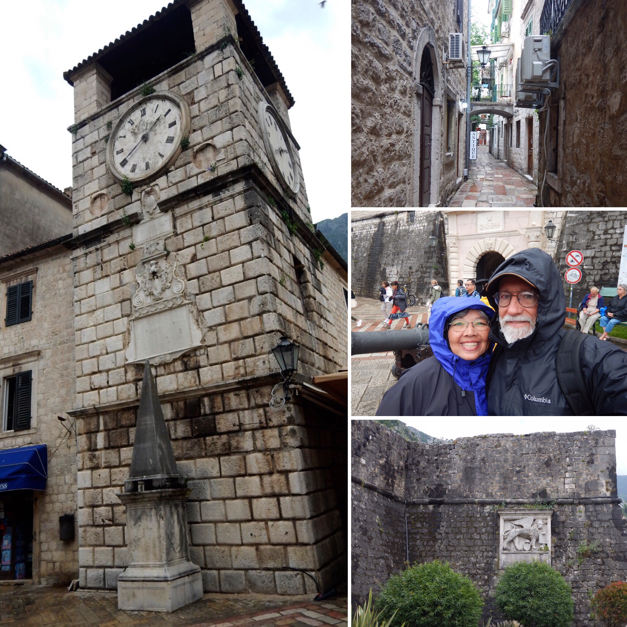
Left: clock tower and “pillar of shame”
Top-right: barrow street
Center-right: in front of main city gate
Bottom-right: city walk with Venetian sign
St. Tryphon Basilica
St. Tryphon was an Asian martyr killed by Romans for preaching Christ (ca 89 AD). St. Tryphon’s body was placed in this basilica to protect the town. Every February, people of all faiths celebrate St Tryphon by parading his body through the town of Kotor. Inside the basilica, there are frescoes in this basilica which is unusual in Catholic churches.

Churches Square
St Luca is an orthodox Christian church without pews, which is common in orthodox churches. St Nicholas’ orthodox church is also in this square.
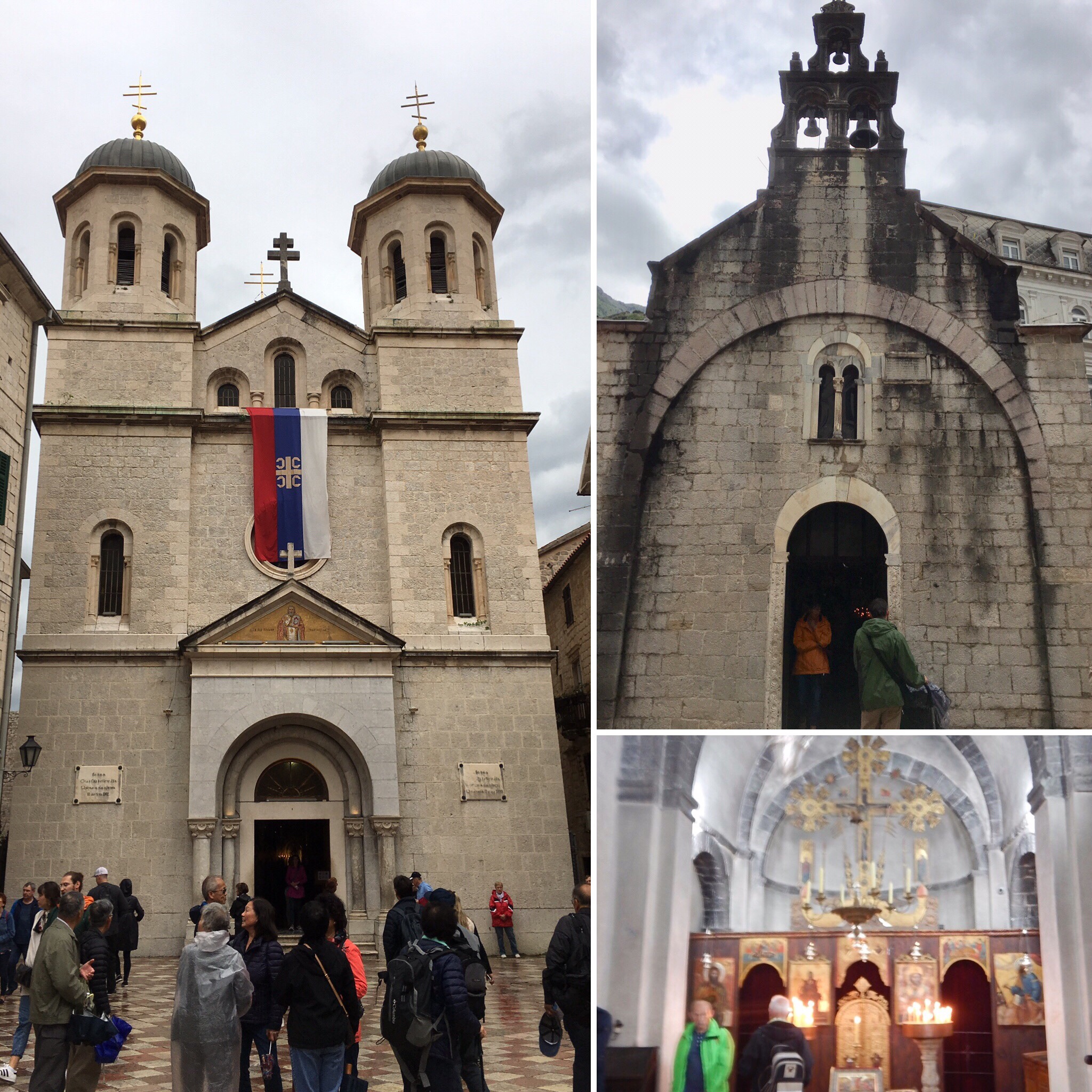
Left: St. Nikola’s church
Top-right: St. Luca’s church
Bottom-left: inside St. Luca’s
The Lady of the Helps Church
This is the little church on the mountainside. You must climb approximately 1300 steps to reach it. Continuing up the mountain will take you to St. John’s Fortress at the top of the mountain beyond the church.
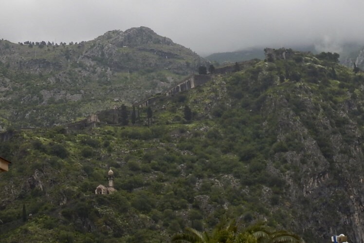
The church is on the lower left, and St. John’s is at the far top-right. The city wall can be seen above the church heading up to the fortress.
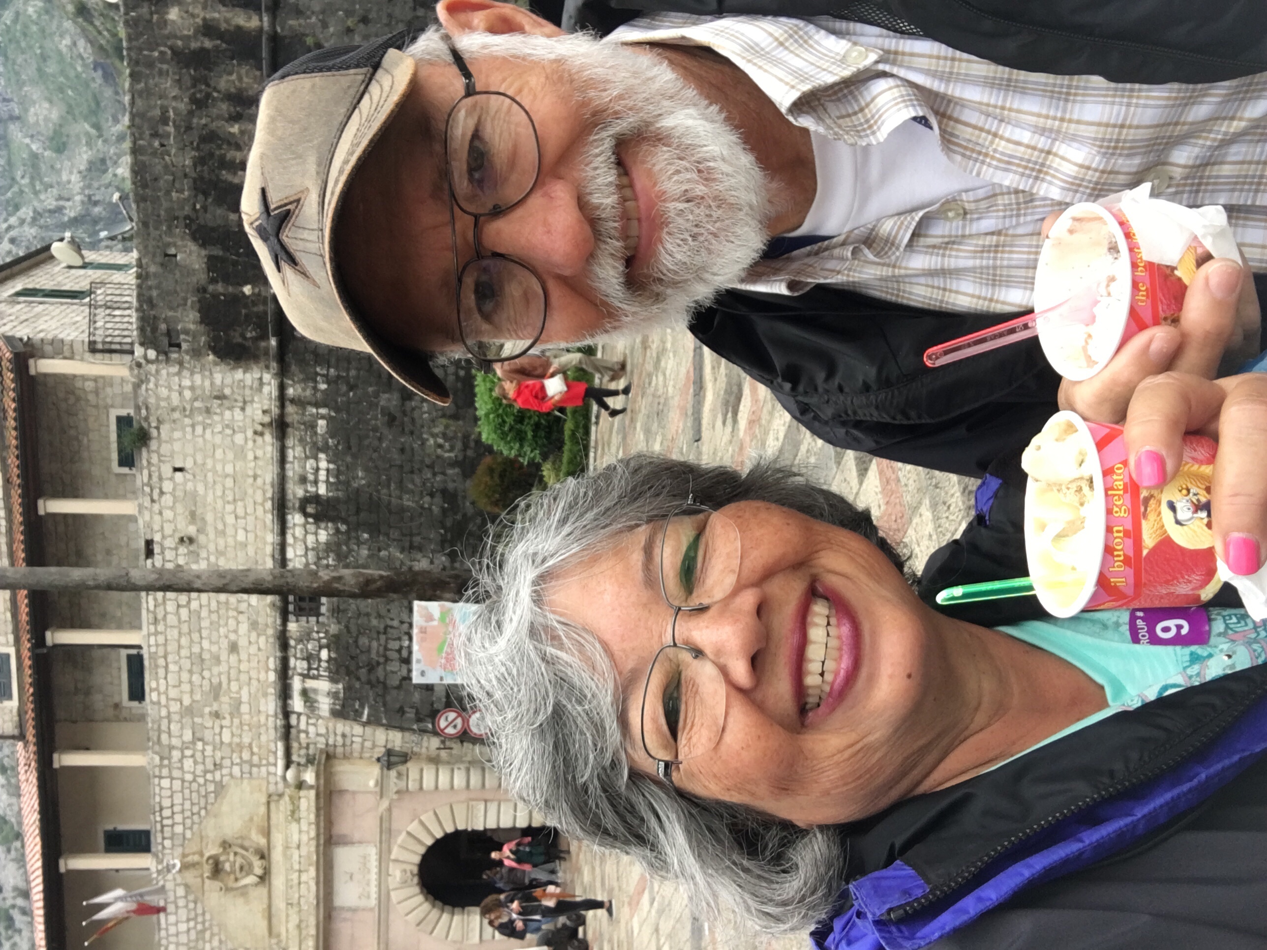
Last, but certainly not least, we had to compare Montenegrin gelato to Italian gelato. While Montenegro’s gelato was certainly tasty, Italy’s gelato was much creamier!
We left Montenegro through the same fjord we entered. These were some of our last sites of Montenegro as we headed out into the Adriatic Sea.
Next stop: Corfu, Greece
