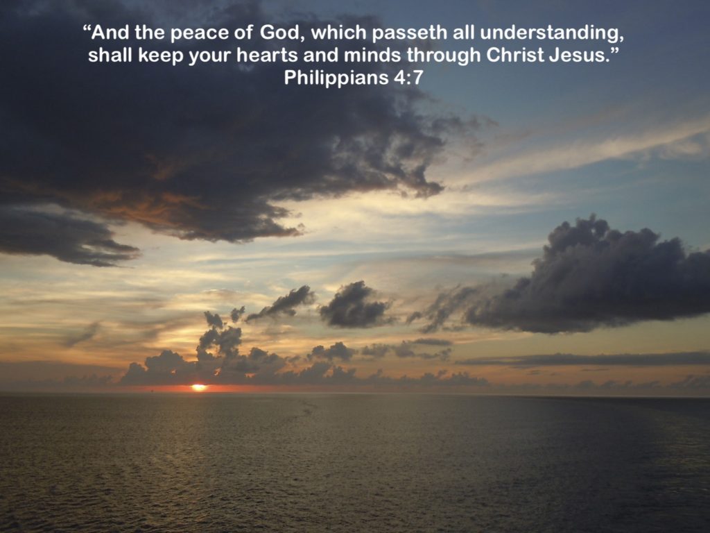
“This is the day which the LORD hath made; we will rejoice and be glad in it.” Psalm 118:24
This morning I read a post from a friend who had reposted someone else’s thoughts. In summary, the original post stated that all the days had become meaningless during this time of “shelter-in-place.” My friend’s response refuted that, giving many reasons as to why these days were a blessing despite the trials and tribulations of being quarantined.
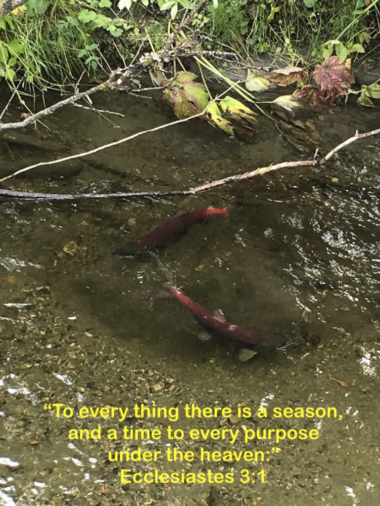
It made me think of a couple of things. First, the original post reminded me of Solomon’s sad discourse in Ecclesiastes, which stated that everything was of no value, empty and useless. However, at the end of the book, Solomon decreed that it is God who gives life meaning. WIthout Him, our existence is futile, but with God, life is glorious! “For he shall not much remember the days of his life; because God answereth him in the joy of his heart.” (Ecclesiastes 5:20)
Second, I thought of the apostle Paul. His life was fraught with challenges that would cause anyone to doubt the value of life on earth. Yet, despite shipwrecks, imprisonment, and rejection, Paul was completely satisfied with the life he had in Christ. “Not that I speak in respect of want: for I have learned, in whatsoever state I am, therewith to be content.” (Philippians 4:11)
Third, I am reminded to keep my eyes on Jesus. When my life is seemingly empty, I have to look to my Saviour. He died to give my life meaning! When I am facing despondency, and I see no hope for the future, I must remember what the Psalmist wrote in Psalm 119:37, “Turn away mine eyes from beholding vanity; and quicken thou me in thy way.” The only thing that makes my life pointless is a life without Christ! With Him, my life has purpose regardless of the circumstances surrounding me. Romans 8:28 tells me, “And we know that all things work together for good to them that love God, to them who are the called according to his purpose,” even times of quarantine! Colossians 3:2 tells me to “Set your affection on things above, not on things on the earth.” I just need to keep looking up!
O soul, are you weary and troubled?
No light in the darkness you see?
There’s light for a look at the Savior,
And life more abundant and free!
Turn your eyes upon Jesus,
Look full in His wonderful face,
And the things of earth will grow strangely dim,
In the light of His glory and grace.
(from “Turn Your Eyes Upon Jesus” by Helen H. Lemmel)
“Rejoice in the Lord alway: and again I say, Rejoice.” Philippians 4:4
**********
When your life is filled with Sonshine, every day is meaningful!