“He cutteth out rivers among the rocks; and his eye seeth every precious thing.”- Job 28:10
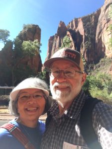
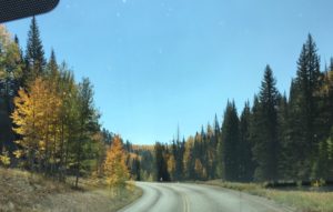
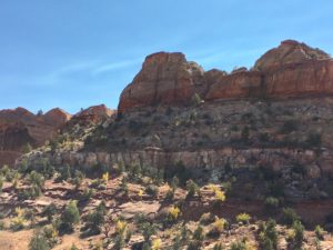
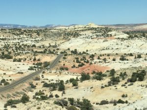
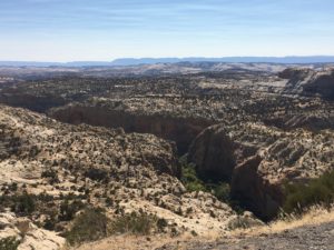
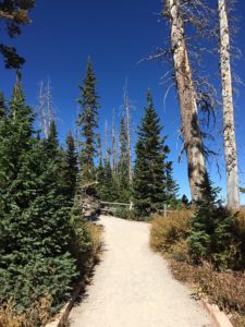
Zion National Park is another one of the “Big 5” national parks in Utah. It is a huge canyon with numerous trails. The interesting thing about this park is that you cannot drive your car into the park. To visit, you must have a ticket for the shuttle that transports individuals to different spots in the park. Additionally, the park prefers a hard copy of the ticket, which isn’t always easy to get if you purchase your ticket a day or two prior to your visit. We did find that Springdale, the city just before entering Zion, has a library where you can print your ticket.There is also a free shuttle in Springdale that will take you to the entrance of Zion. At that point, you enter the park and board the National Park shuttle.
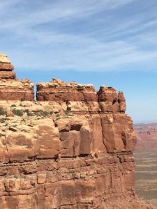
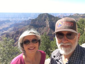
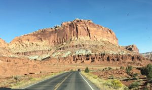
 “Zion National Park”
There were 9 shuttle stops in the park. The first was at the Lodge, but we chose to ride the shuttle to the end and then work our way back to the entrance. At the far end of the shuttle route is a stop that leads to the “Narrows” trail. We hiked along that for a while, meandering from the main trail to another trail by the river and then back to the main one. There were lots of people here… many more than we expected, and it has been the same at Arches, Canyonlands, and Bryce. This makes for some crowding on the trails, but most were mindful of the six-foot distancing, and some were even wearing masks as they hiked.
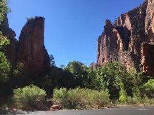
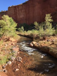
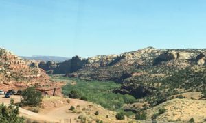
 “Virgin River in Zion”
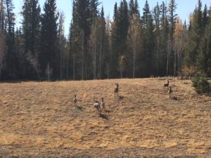
There were a lot of deer in Zion. In fact, when we first arrived, there were 3 deer nibbling on the shrubbery at the entrance. As we hiked, we saw several other deer feeding. They don’t seem the least bit bothered by people. They just lift their heads, see what’s happening, then resume feeding. I enjoyed that part of the hiking the best!
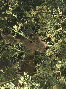 “Peek-a-boo Deer”
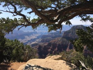
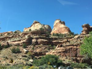
We also hiked the Grotto Trail. It was a short trail, but we ended up at a shuttle stop, so that was nice. While riding the shuttle, we saw rock climbers halfway up the face of the canyon wall! That was amazing! We could see him through the opening in the top of the shuttle!
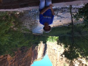
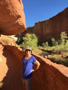
 “Hiking in Zion”
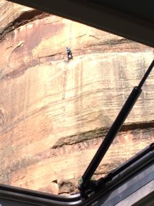 “Rock climber on canyon wall”
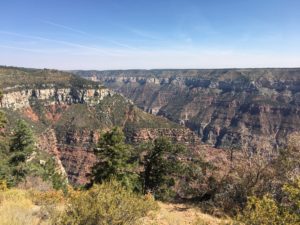
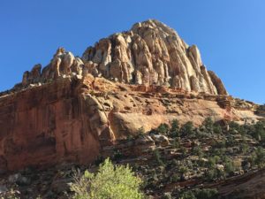
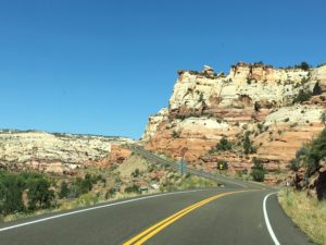
This part of our visit only took about 3 hours, so we decided to drive back to the campground via a more scenic route. We drove the car road in Zion through the southern part of the park through the tunnel. On the other side of the tunnel, there were gorgeous rock formations… much more spectacular to me than what was on the shuttle route. We didn’t see any bighorn sheep though, but the drive was lovely.
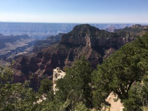
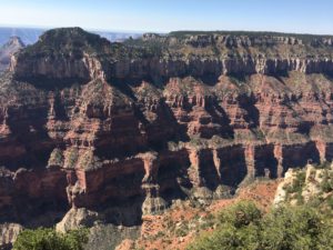
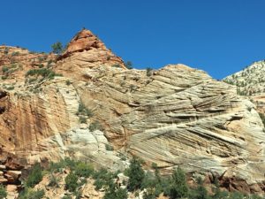 “Zion National Park”
We didn’t see any bighorn sheep, but we did see a herd of buffalo. We ended up going on a smaller road and drove by Coral Pink Sand Dunes State Park. It had actual sand dunes that were coral-pink in color!
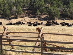 “Buffalo”
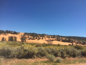 “Coral Pink Sand Dunes”
After we got home, John decided to head back to Zion for a bike ride. There were bicycles everywhere in Zion. He told me that the park had emptied out, and his ride was quite pleasant. He also saw a lot more deer on his ride, and one even approached him when he returned to the truck!
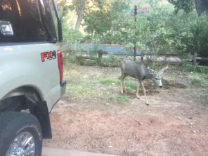 “Oh ‘deer’!”


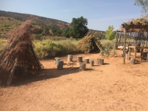


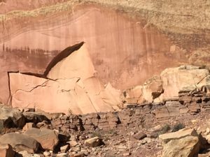 “Petroglyphs”
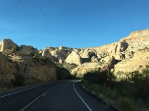
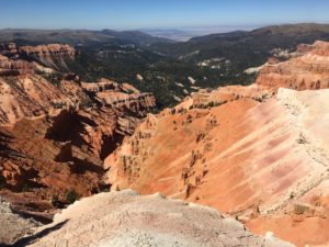
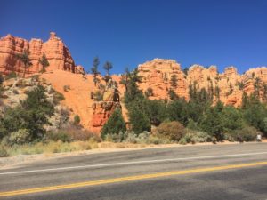 “Red Canyon”
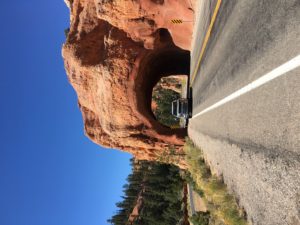 “Driving through the arch at Red Canyon”
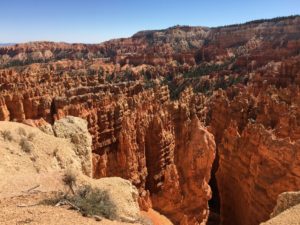 “Sunrise Point”
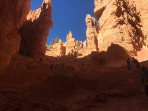 “The Navajo Trail” (from below)
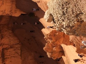 “John (center) on the Navajo Trail”
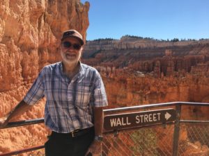 “Wall Street”
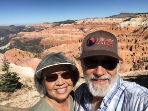
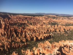 “Bryce Canyon Overlook”
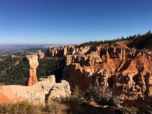 “Agua Canyon”
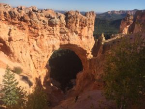 “Natural Bridge”
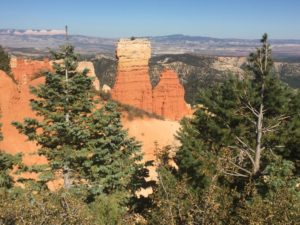 “Ponderosa Point”
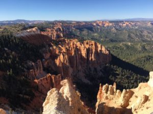 “Rainbow Point”
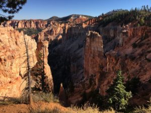 “Black Birch Canyon”
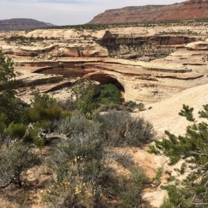 “Kachina Bridge”
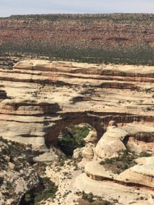 “Sipapu Bridge”
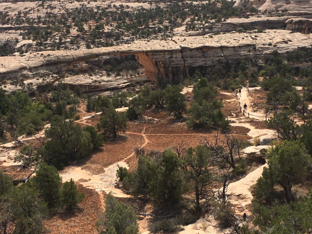 “Owachomo Bridge”
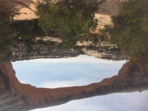 “Owachomo Bridge”
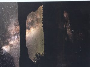
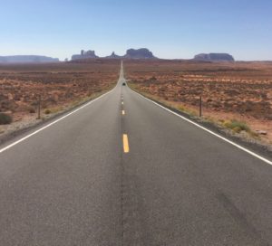 “Forrest Gump Hill”
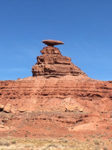 “Mexican Hat”
 “Valley of the Gods”
 “Moki Dugway”
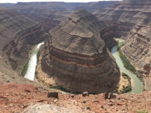 “San Juan River from Gooseneck State Park”