“Make a joyful noise unto the Lord, all ye lands.” Psalm 100:1
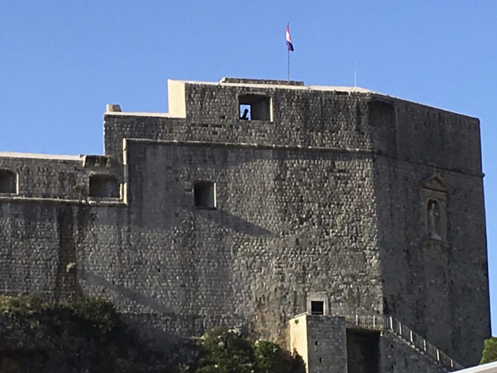
Located along the Dalmatian coast of the Adriatic Sea, Dubrovnik is an ancient medieval walled city with sandstone buildings with red-tiled roofs, narrow cobblestone streets, and fortified ramparts. It is currently thought that this area was inhabited as early as the 9th century BCE.
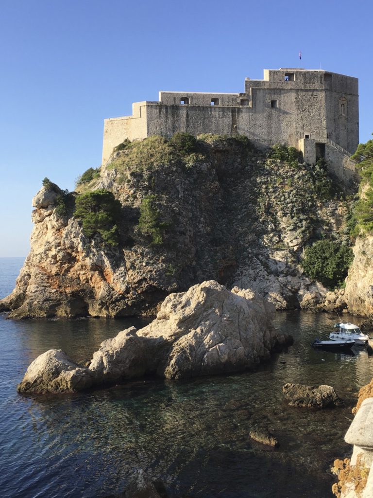
Dubrovnik is a city that refuses to die. Nearly destroyed in 1667 by a devastating earthquake, the people of Dubrovnik rebuilt their city. Bombed mercilessly in the late 1990s during the Serbian-Croatian war, the city once again restored itself in an enchanting Baroque style, and today, Dubrovnik is a major tourist site for the region.
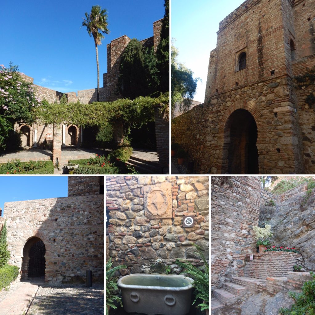
The entrance into the old town of Dubrovnik is through the Pile (pronounced “pee-lay”) gate, which has been designated as a World Heritage Site gateway. As you walk the marbled pedestrian walkways, you can see the 15th century Onofrio Fountain, which still yields cool, potable water for the weary traveler!
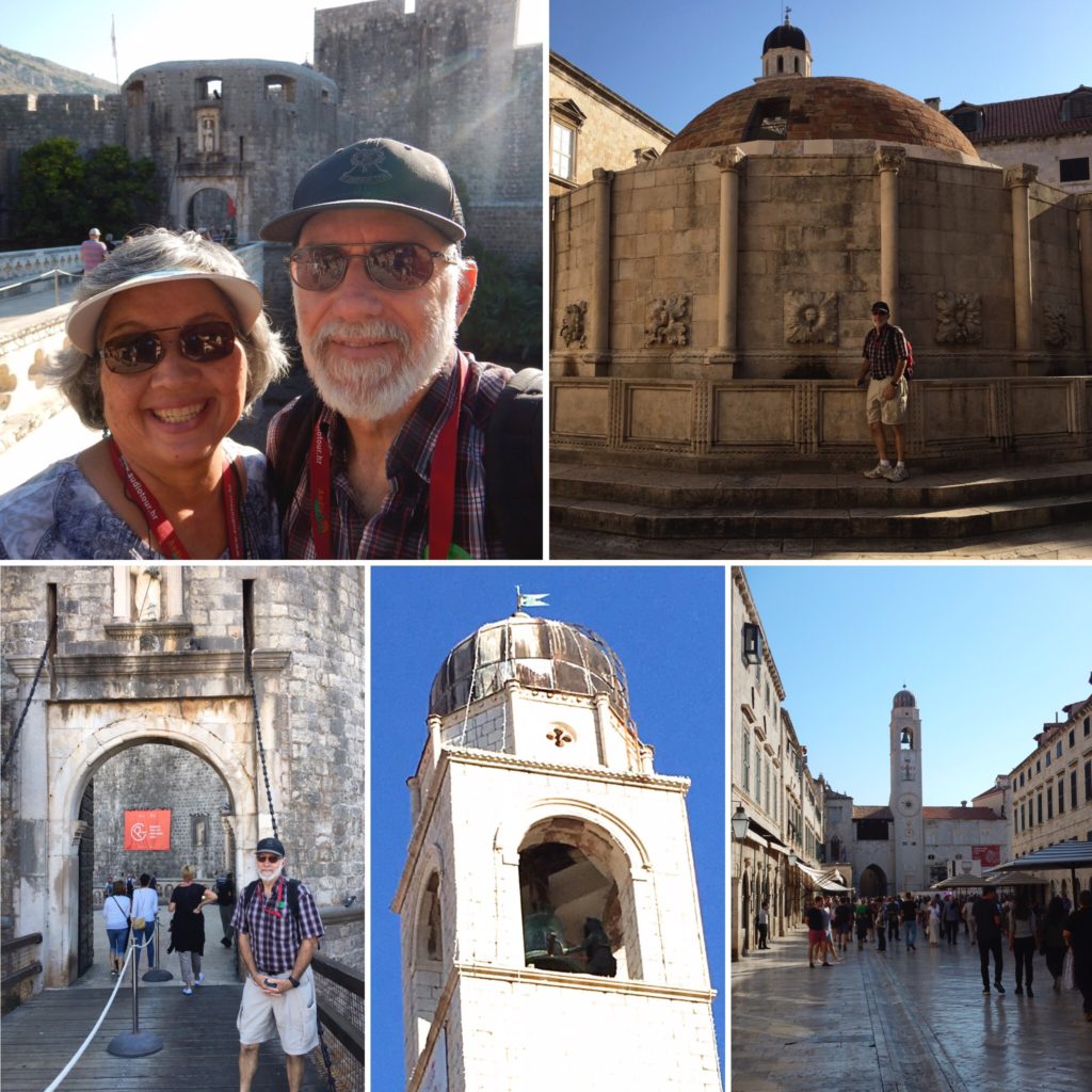
(clockwise from top-left: Entrance to Old Town Dubrovnik, Onofrio Fountain, Main walkway, Bell tower, Pile Gate)
The Franciscan monastery, the order established by St. Francis of Assisi, houses a library with over 30,000 books and 1,500 priceless documents. Its Old Pharmacy is still in operation, making it the world’s oldest working apothecary.
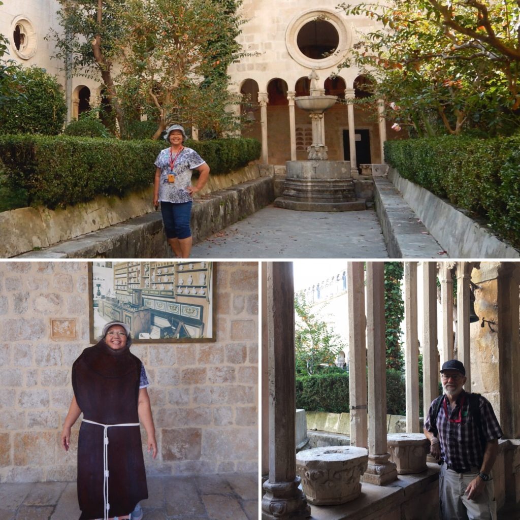
(clockwise from top: monastery gardens, colonnade, Monk Jayne)
The Regent’s Palace, the 1673 Dubrovnik cathedral, and the massive city walls are all impressive structures to explore. In fact, if you don’t mind climbing 300 steps, you can actually ascend a stairway to the top of the city wall, and then walk the top of the wall encircling the town!
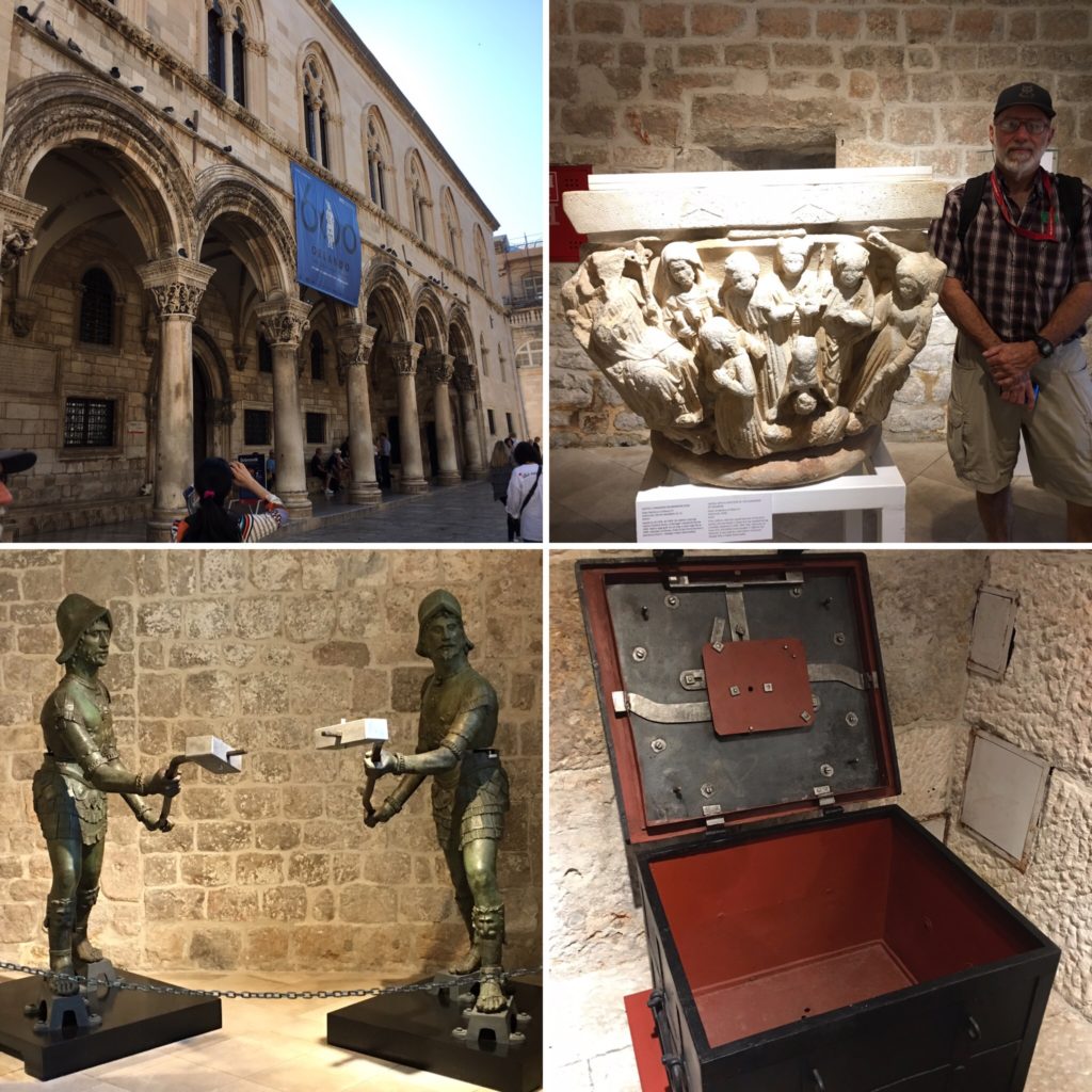
(clockwise from top-left: Regents’ Palace, palace sculpture, treasury iron chest, metal sculptures)
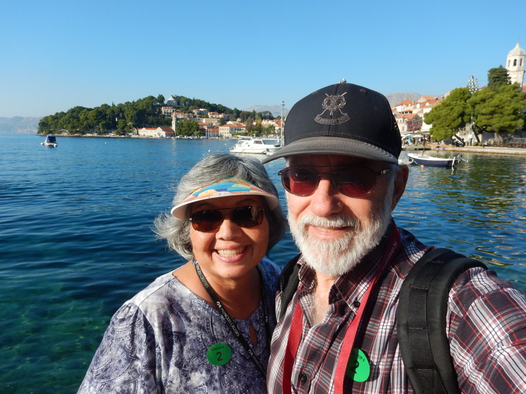
We also visited Cavtat, a coastal village about 30 minutes from Dubrovnik. It is situated on a beautifully serene bay, where the water is crystal clear, and you can see fishes swimming around, even at the bottom of the bay!
Five Interesting Things about Dubrovnik
1. It is the setting for the hit television series “Game of Thrones.”
2. Although it is part of the EU, the kuna is the official currency, and the euro is not legal tender here.
3. More than 1,000 islands dot the coastal region of Croatia.
4. Croatia was once part of the country Yugoslavia, as was Montenegro, Serbia, Bosnia-Herzegovina, Kosovo, and Slovenia.
5. Hrvatska is the actual name of the country; Croatia is the English language name.
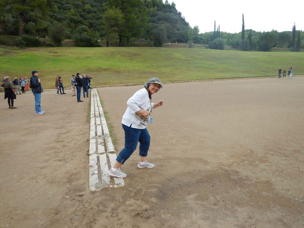
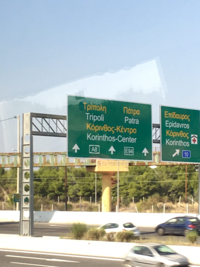
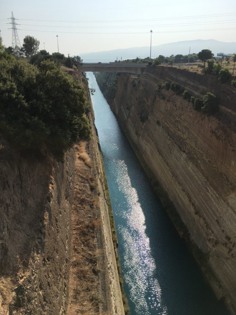
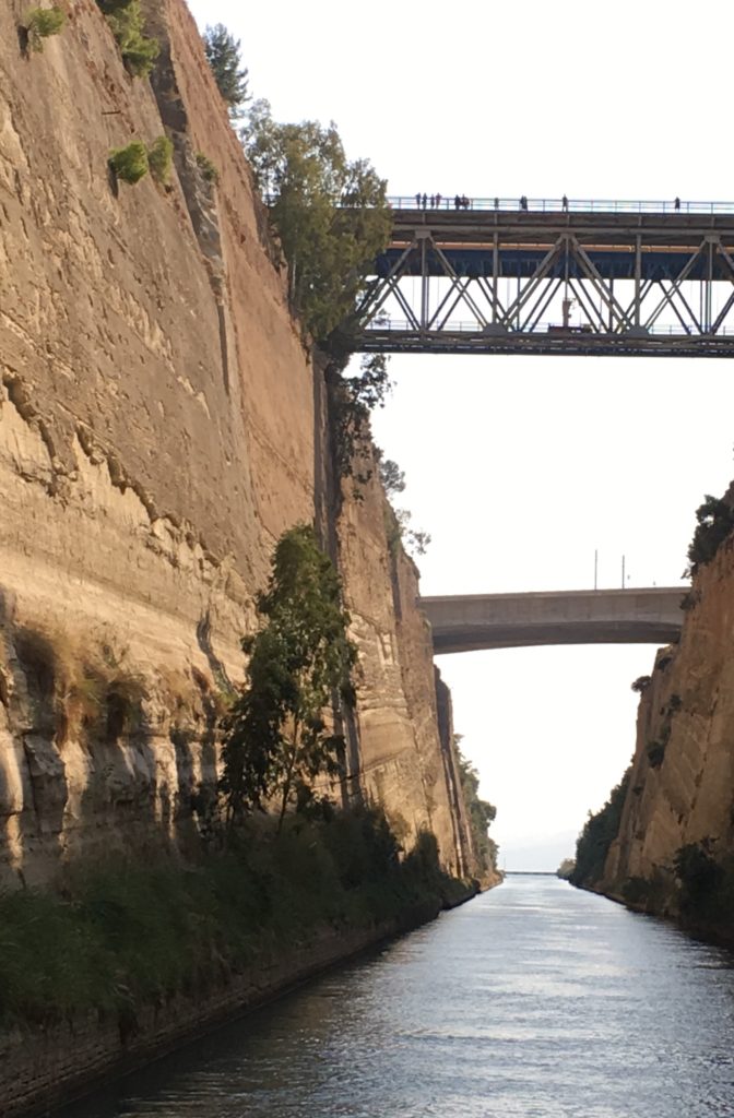
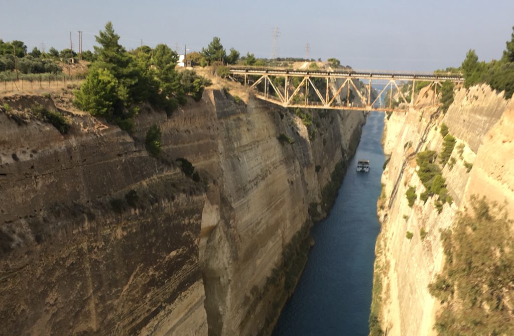
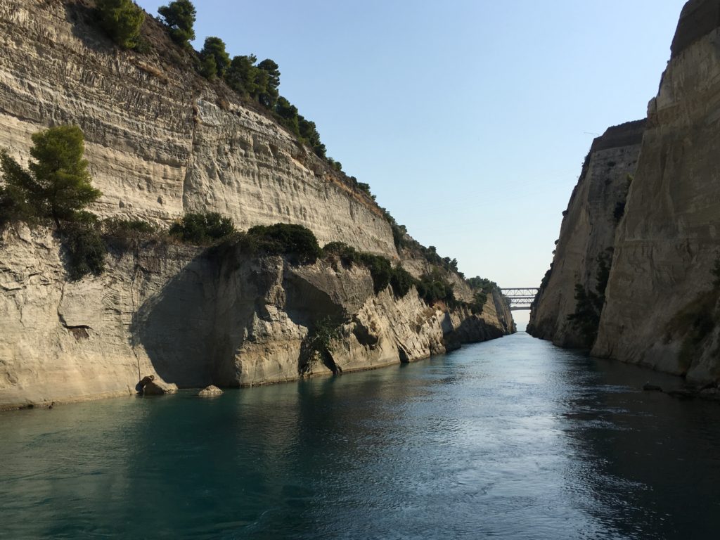
Next stop: Corinth, Greece

 “Shafer Canyon”
 “Grand View Pt. Overlook”
 “Green River Overlook”
 “Orange Cliffs Overlook”
 “Buck’s Canyon”
 “Candlestick Tower”
 “Balancing Rock”
 “Delicate Arch”
 “Fiery Furnace”
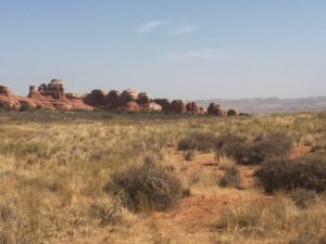 “Broken Arch”
 “Skyline Arch”
 “Parade of Elephants”
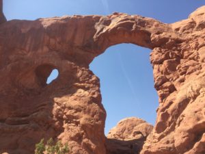 “Turret Arch”
 “North and South Windows”
 “Garden of Eden”
 “Sheep Rock”
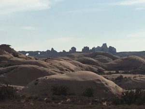 “Petrified Dunes”
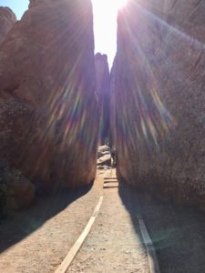 “Sand Dune Arch”
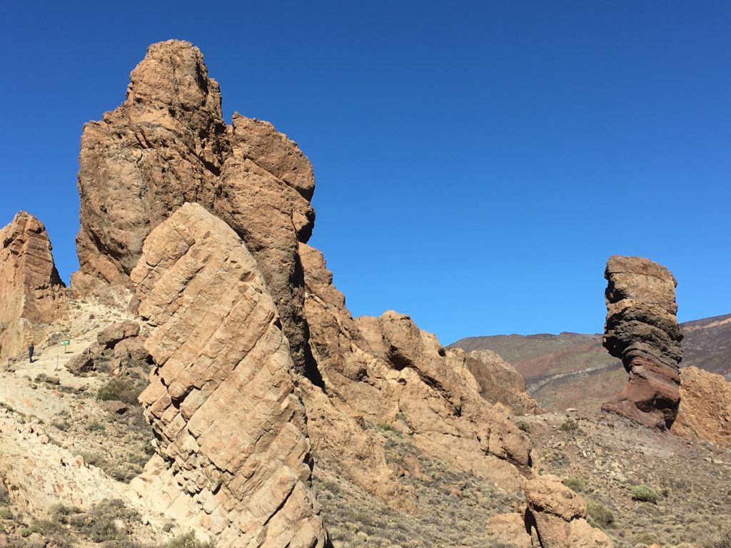
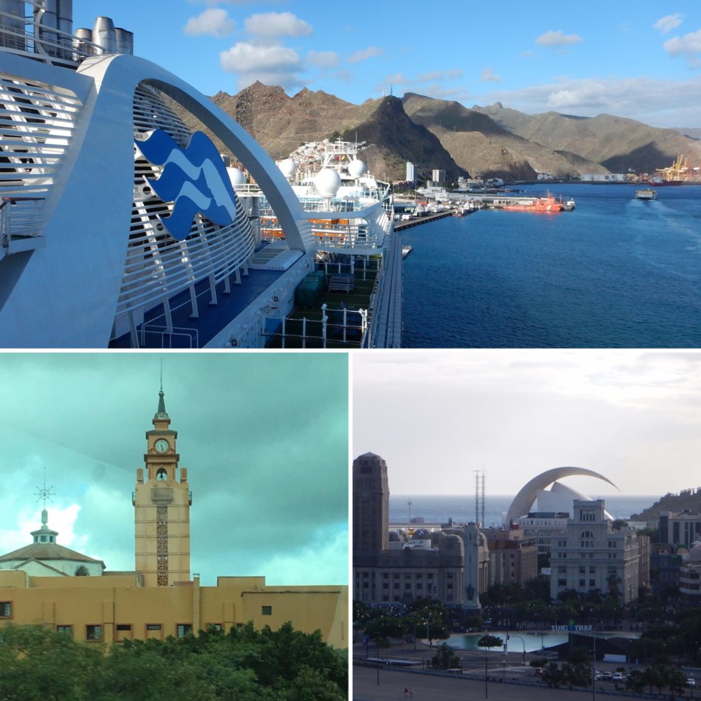
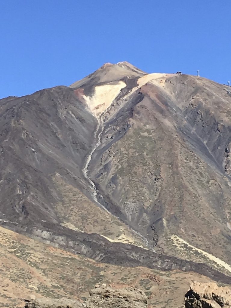 (Mt. Teide)
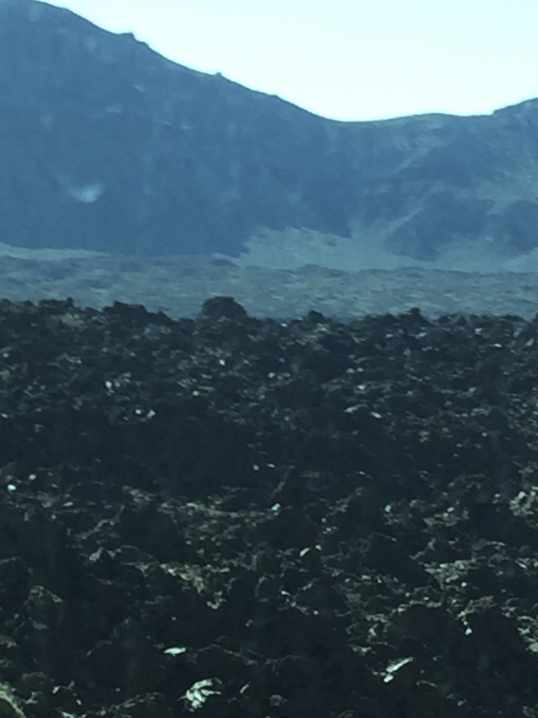
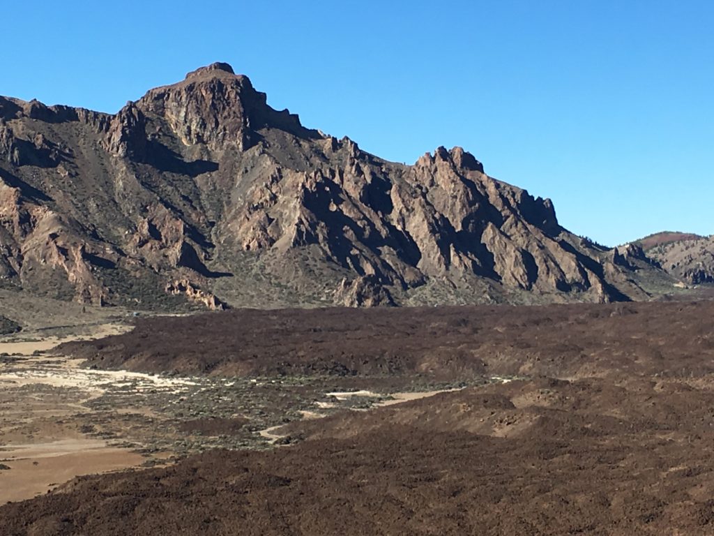
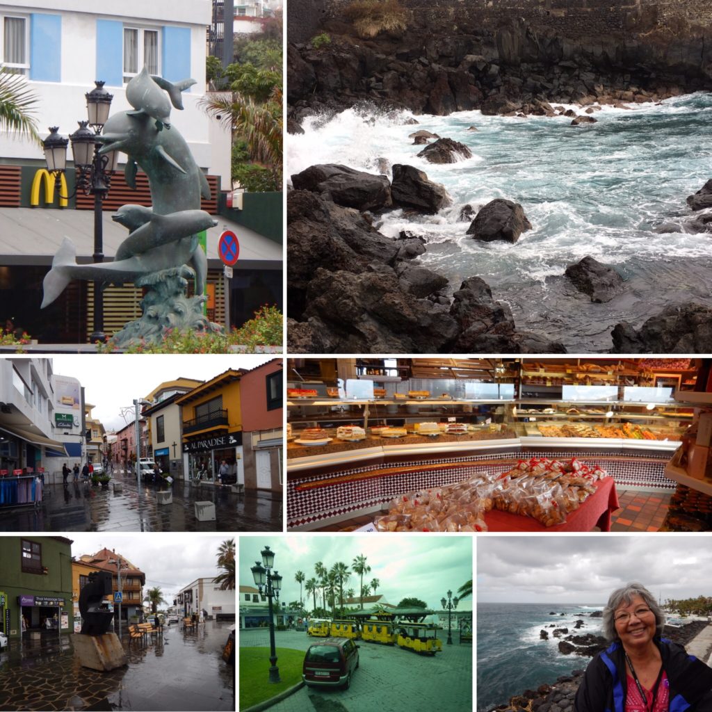